Listing Details
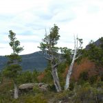
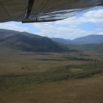
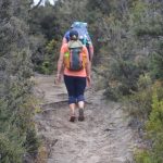
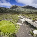
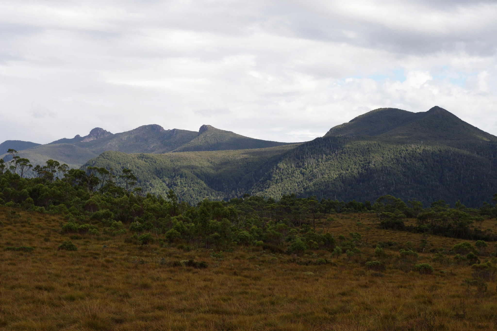
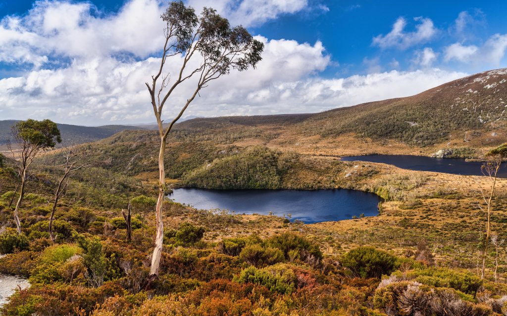
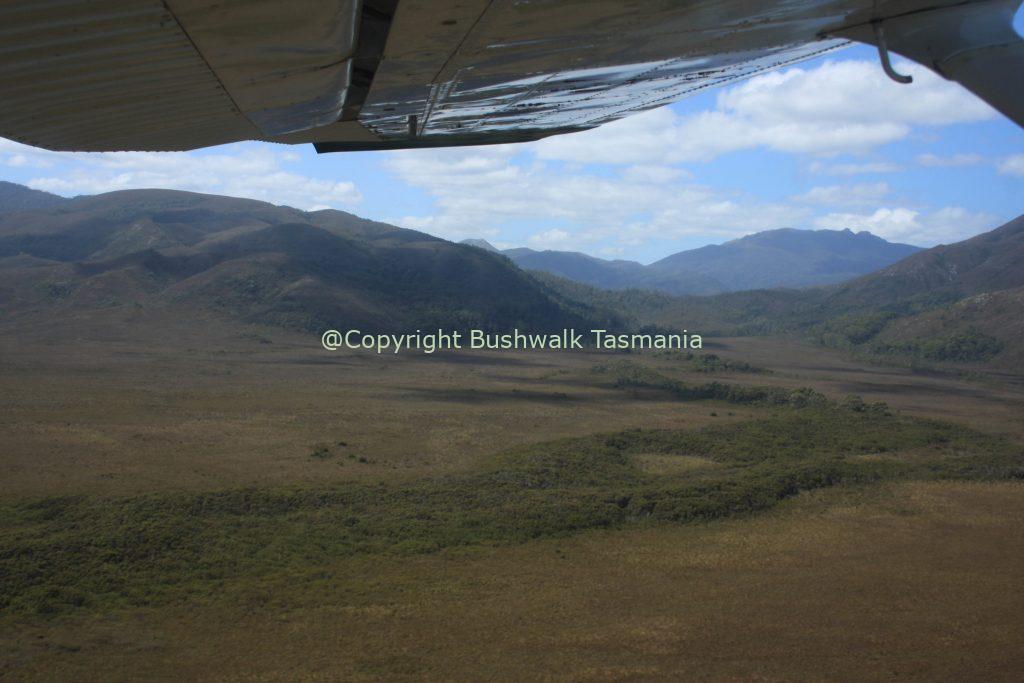
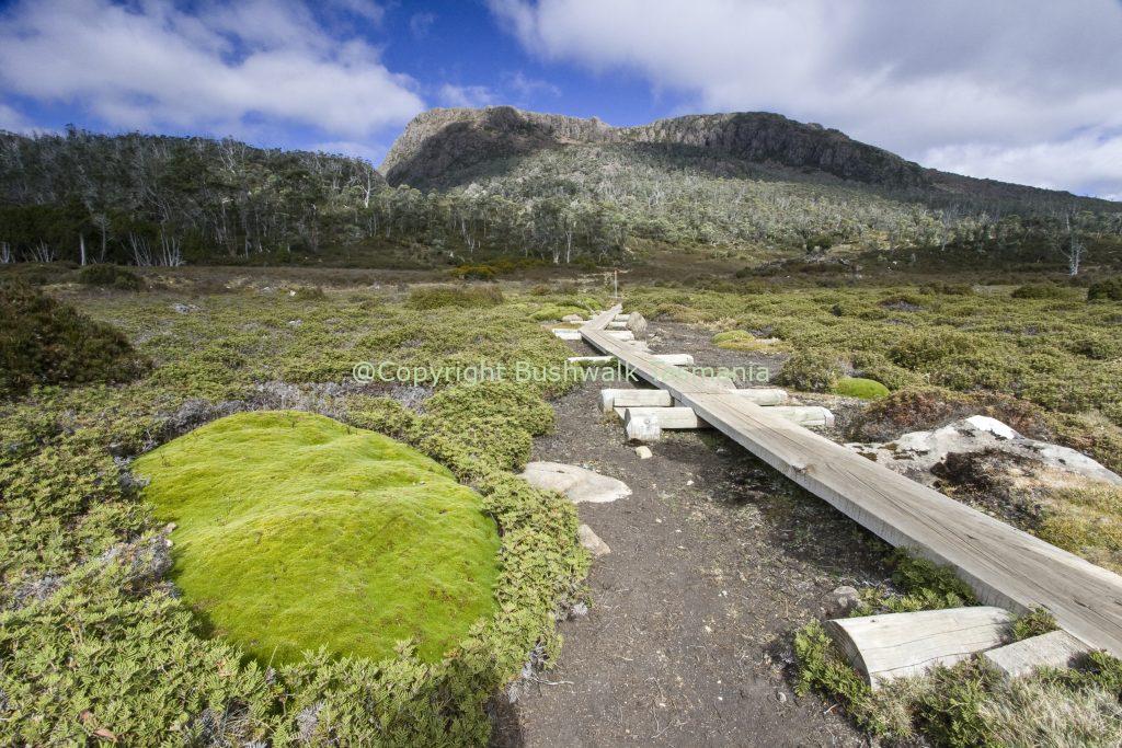
Frenchmans Cap is a well-known mountain in the Franklin Gordon Wild Rivers National Park, West Tasmania, Australia. It lies east of the West Coast Range and south-west of the Cradle Mountain Lake St Clair National Park. The Frenchmans Cap bushwalk track is generally considered harder than many other Tasmanianbushwalks, including the Overland Track, so it is recommended for only experienced walkers. The track is rough and muddy over extended sections, especially across the Loddon Plains. To do the summit climb you must have good weather and not have issues with heights or harsh weather conditions. Most walkers spend between 3 and 5 days completing the return trip, a distance of app. 25 kilometres each way. You may want to allow extra time to wait at Tahune in case the summit is covered by cloud, especially given that the views from the summit are a highlight of the trip. It is also recommended to allow extra time for adverse weather. You are required to pay a fee to enter the national park. Updated information on park entry fees can be obtained from the Tasmanian Parks and Wildlife Website. You are required to pay a fee to enter the National Park. The most convenient pass for this walk is the Backpacker Pass, which is valid for all National Parks for a period of two months. It is available from all park centres, Travel and Visitor Information centres and some retail outlets. Bookings are not required to do the Frenchmans Cap Track; no other permits are required. For your safety, it is recommended to record your trip intentions in the registration book at the Franklin River near the start of the walk and also in the logbook located at each hut.
Frenchman's Cap Bushwalk at a glance:
- National Park Fees apply
- Awesome views from the peak
- Often very muddy sections of track
- Limited accommodation
- Unusual rainforest sections
- Huon Pine, King Billy Pine
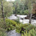
- Beautiful clear streams
- Great photo opportunities
There are two unattended huts along the track which have bunks but no cooking stoves or utensils. The Lake Vera hut accommodates 20 people; Lake Tahune 16 people. It is preferable to use the huts whenever possible in order to reduce impact on vegetation around campsites. However, always carry a tent as the huts may be full when you arrive. Carrying a tent will also allow you to stop due to adverse weather, injury or tiredness. Recommended camping locations are: Camping Franklin River; a number of sites can be found just before crossing the river; Loddon River; Philps Creek Lake Vera - a number of suitable sites are located along the track a short distance after crossing the bridge near the hut; and Lake Tahune. Frenchmans Cap track is an extremely difficult and challenging walk in a region of Tasmania exposed to harsh and changeable weather conditions at any time of the year. Access to the summit is exposed and should not be attempted during periods of bad weather. This walk should only be attempted by experienced bushwalkers who ar fully equipped for all weather conditions.
Tags
Features
Location
Author Info
Frenchmans Cap Walk 0 reviews
Login to Write Your ReviewThere are no reviews yet.

-
July 4, 2020
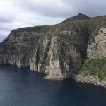
Waterfall Bay walk, Fortescue Bay campground South East Tasmania close Eaglehawk Neck and Port Arthur.
-
June 20, 2020
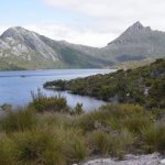
Tasmania's most famous walk, the iconic multi-day Overland Track from Cradle Mountain to Lake St Clair.
-
June 20, 2020
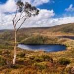
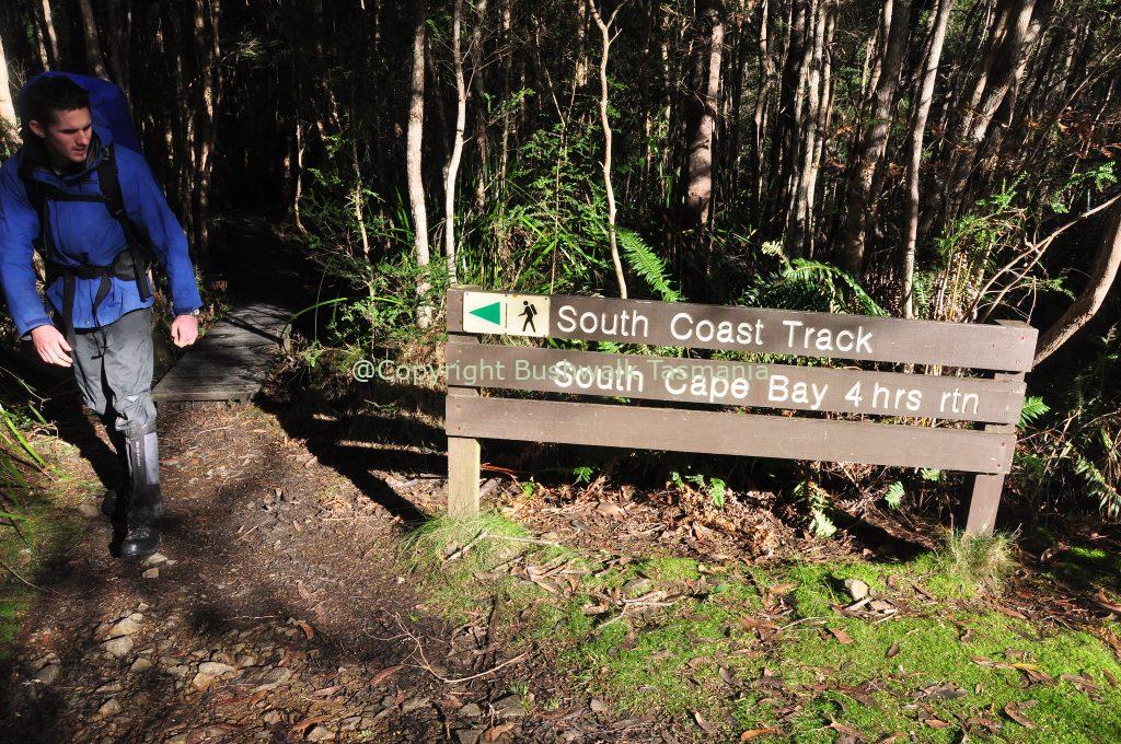
Tasmania’s wild southern coastline is home to this 6-8 day spectacular, but challenging walk.
-
June 20, 2020
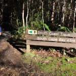
One of Tassie's iconic multi-day bushwalks, 70 kilometres long over 4-5 days in the Southwest National Park Tasmania
-
June 20, 2020
Short, easy but interesting walk in the Meander Valley, close Liffey Falls Deloraine.