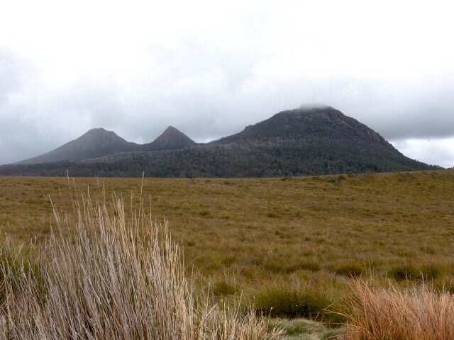
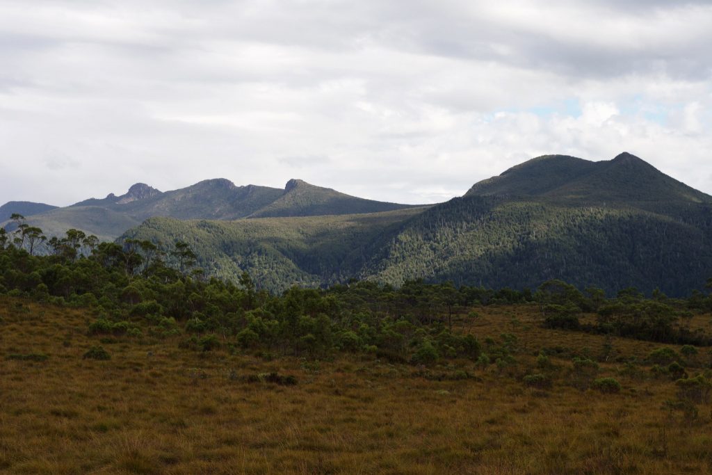
The Great Western Tiers rise sharply out of Tasmania’s northern midlands, marking the edge of the Central Plateau and giving this region its old Aboriginal name, kooparoona niara — “mountains of the spirits.” It’s often called the short walk capital of Tasmania, and it’s easy to see why: within a short drive of Deloraine and Mole Creek you’ll find waterfalls tumbling through cool temperate rainforest, dolerite cliffs with sweeping views over the highlands, and one of the more accessible standalone peaks in the north of the state. Most of these walks can be done in an hour or two, making the region a good base for a weekend of easy-to-moderate day walking without committing to a big multi-day trek.
A short, well-graded track through tall wet eucalypt forest and rainforest leads to a series of cascades tumbling over columnar dolerite, finishing at the main Liffey Falls. Starting from the upper car park keeps things easy; walking up from the lower car park and campground adds distance and a rougher, sometimes muddy track.
Distance: 2km return (from upper car park) • Time: 45 minutes • Difficulty: Grade 2 (easy) • Dogs: Not permitted — the reserve is dog-free
Nearest campground: Liffey Falls Forest Reserve campground — free, basic sites at the lower car park with toilets and a picnic shelter.
A well-formed track through open woodland leads to a lookout perched above the Mersey River gorge, with striking views down onto the eroded cliffs. It’s short enough to fit in on the way between Deloraine and Mole Creek, and doubles as a good option on a day when the weather’s closing in higher up the range.
Distance: 1.6km return • Time: 45–50 minutes • Difficulty: Grade 2–3 • Dogs: Permitted on-leash
Nearest campground: Mole Creek Caravan Park — pet-friendly grassed sites with hot showers, about a 10-minute drive away.
An undulating track with a few steep, stepped sections winds through rainforest to a secluded waterfall tucked into the karst country around Mole Creek. It’s quieter than some of the region’s better-known walks and a good stretch-the-legs option if you’re also visiting the Mole Creek caves.
Distance: 3.5km return • Time: 2 hours • Difficulty: Grade 3 (moderate) • Dogs: Not permitted — national park
Nearest campground: Mole Creek Caravan Park, roughly 10 minutes from the trailhead.
A short boardwalk and gravel track on top of the Great Western Tiers leads to a lookout perched above a sheer, 220-metre glacial gorge, with views out over the Fisher River valley and the Central Highlands. The access road climbs onto the plateau and can be closed by snow in winter, so it’s best treated as a fine-weather walk.
Distance: 1.1km return • Time: 40 minutes • Difficulty: Grade 2 • Dogs: Not permitted
Nearest campground: Mole Creek Caravan Park is the closest established campground, about 40 minutes’ drive back down off the plateau.
For something longer and more of a proper climb, Quamby Bluff is one of the easier standalone peaks in the Tiers to bag in a day. The track climbs steadily through Fairy Glade’s mossy myrtle forest before breaking out onto the dolerite summit plateau, with panoramic views over the northern midlands as a reward. Sturdy footwear and a full day are recommended.
Distance: 6–7km return • Time: 4–5 hours • Difficulty: Grade 3–4 (some bushwalking experience recommended) • Dogs: Reports vary — generally permitted on-leash in the forest reserve, but check current signage at the trailhead before bringing one along.
Nearest campground: Quamby Corner Caravan Park, Golden Valley — sits right at the foot of the bluff.
Planning Your Trip
Liffey Falls, Westmorland Falls, and Devil’s Gullet all sit within reserves or a national park managed by Parks and Wildlife Service Tasmania. Devil’s Gullet and Westmorland Falls fall inside areas where a Tasmanian Parks Pass is required for vehicle entry — check current requirements at parks.tas.gov.au before you go, and buy a pass in advance if you’re visiting several parks on your trip. Liffey Falls State Reserve and Mole Creek Karst National Park are both dog-free, so plan accordingly if you’re travelling with a pet — Alum Cliffs and Quamby Bluff are more relaxed but still require dogs to be leashed. The road up onto the plateau to Devil’s Gullet gains altitude quickly and can ice over or close with snow outside the warmer months, so check road conditions and carry warm layers even on an otherwise mild day — weather on the Tiers can turn quickly regardless of the forecast down in Deloraine.