The Three Capes Track is Tasmania’s most polished multi-day walk — four days and three nights along the highest sea cliffs in the Southern Hemisphere, on the Tasman Peninsula south-east of Hobart. Unlike most of the state’s wilderness tracks, it’s a fully managed experience: a boat cruise to start, purpose-built huts each night with mattresses and hot cooking facilities, a well-formed track and boardwalk the whole way, and a bus back to Port Arthur at the end. No tent, no stove, no dodgy river crossings — which makes it the most accessible way for a reasonably fit walker to do a genuine multi-day hike in Tasmania.
Here’s what four days on the track actually looks like, what it costs, what to pack, and what to know before you book.
Overview: What the Walk Involves
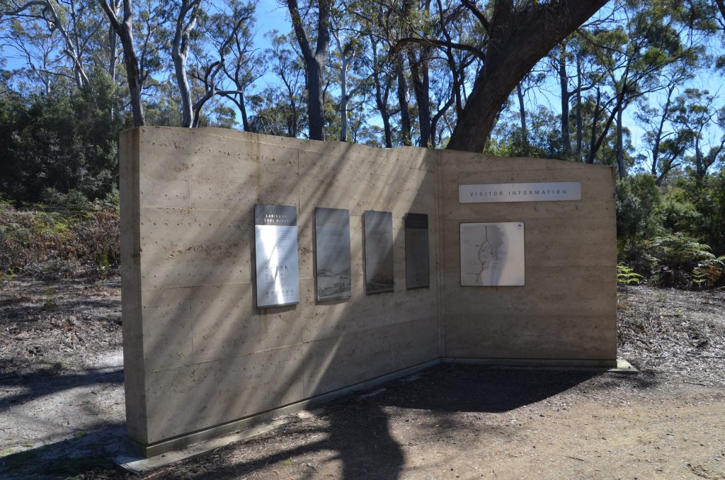
The track runs one-way for 48km through Tasman National Park, from Port Arthur to Fortescue Bay, via three purpose-built public huts — Surveyors, Munro and Retakunna. Only 48 walkers depart each day, so the huts never feel crowded, and rangers are on hand at the start to run through track notes and safety information before you set off. The whole experience — boat transfer, hut accommodation, and the return bus — is bundled into a single booking and fee.
Day 1: Port Arthur to Surveyors Hut
The walk begins with a scenic boat cruise from the Port Arthur Historic Site, run by Pennicott Wilderness Journeys, past sea caves and along the coast to the Denmans Cove trailhead. From there the track climbs away from the cove and undulates gently along the cliff edge to Surveyors Hut, with views back across Safety Cove to Port Arthur. It’s a short first day, deliberately — time to settle in and get a feel for hut life before the longer days ahead.
Distance: 4km • Time: 1.5–2 hours • Difficulty: Easy
Highlights: The boat cruise itself, and views back over Port Arthur and Safety Cove from the cliff-top track
Day 2: Surveyors Hut to Munro Hut
A longer, more varied day with a few genuine climbs, including the pull up Arthur’s Peak, rewarded with dramatic views south along the peninsula’s cliff line. The track then eases into lush eucalypt forest for the final stretch into Munro Hut, which sits in a striking position looking straight across to Cape Pillar and Tasman Island — worth timing your arrival for sunset if the weather allows.
Distance: 11km • Time: ~4 hours • Difficulty: Moderate
Highlights: Arthur’s Peak lookout, and the Munro Hut deck view across to Tasman Island
Day 3: Munro Hut to Retakunna Hut (via Cape Pillar)
The big day, but also the best one. Walkers leave their heavy packs at Munro and do the return side-trip out to Cape Pillar and The Blade — a narrow, exposed dolerite ridge with sheer 200m drops and no barriers, not for anyone uneasy with heights, but unmatched for views out to Tasman Island. Back at Munro, it’s only about an hour with your full pack on to Retakunna for the night.
Distance: 17km round trip (including the Cape Pillar side-trip) • Time: ~6 hours • Difficulty: Moderate–hard (long day, exposed sections at The Blade)
Highlights: The Blade and Cape Pillar — the scenic centrepiece of the whole track
Day 4: Retakunna Hut to Fortescue Bay (via Cape Hauy)
The final push, with plenty of stairs — over 2,000 of them by some counts — down to Cape Hauy, where the Totem Pole and Candlestick, two towering dolerite sea stacks, rise straight out of the ocean below the lookout (keep an eye out for climbers on the Totem Pole, a well-known rock-climbing objective). From there it’s back through forest to Fortescue Bay, where the bus collects walkers for the return trip to Port Arthur.
Distance: 14km • Time: ~6 hours • Difficulty: Moderate–hard (many stairs, long day)
Highlights: Cape Hauy, the Totem Pole and Candlestick sea stacks, and a well-earned swim at Fortescue Bay if the weather’s kind
Cost and Bookings
As of mid-2026, the standard track fee is $625 AUD per person, which covers national park entry, the Port Arthur boat cruise, three nights in the huts, and the return bus from Fortescue Bay. A concession discount of around 20% applies to eligible cardholders, and Companion Card holders receive a second ticket at no charge. Watch for seasonal promotions — a discounted rate has applied in recent years for winter departures. Only 48 walkers depart each day and bookings open roughly 13 months ahead through the Parks & Wildlife Service booking system; popular summer and long-weekend dates can sell out within hours, so book 6+ months ahead if you’re not flexible on dates.
What’s Provided vs What to Pack
Because this is a hut-based walk, you don’t need a tent, sleeping mat or stove. Each hut has a heated common room, gas cooktops, pots, pans and washing-up gear, plus bunks with mattresses. What you do need to bring: a sleeping bag (the huts aren’t heated overnight), your own food for four days, personal cutlery, a plate or bowl, and a tea towel. Beyond that, pack as you would for any Tasmanian coastal walk — layers, a proper waterproof jacket, sturdy footwear, and sun protection, since the exposed cliff-top sections offer no shelter from wind, rain or sun.
Planning Your Trip
The track is graded moderate overall, but Day 3 and Day 4 are long, and the exposed sections at The Blade and around Cape Pillar are genuinely no place for vertigo or high winds — rangers will advise on the day if conditions mean the Cape Pillar side-trip should be skipped. Weather on the peninsula can turn quickly regardless of season; carry full wet-weather gear even on a forecast-clear day. The track is walked year-round, but late spring through autumn (October–April) offers the most reliable conditions and longer daylight hours for the bigger days. Dogs are not permitted anywhere on the track.






Leave a Reply