- by Bushy
- in News
- No comments yet
Scottsdale sits at the crossroads of Tasmania’s North East — rolling farmland to the west, the wild Blue Tier and Weldborough rainforest to the east, and the Bay of Fires coastline within easy striking distance. It’s not a region built around one headline walk; instead it’s a scatter of short, easy-to-reach tracks through forest reserves, granite outcrops and quiet coastal reserves, most of them within half an hour of town. It’s a good base for campers who want a different short walk each day without much driving.
1. Ralphs Falls Walk — Mount Victoria Forest Reserve, Ringarooma
A short, well-formed track through myrtle and sassafras rainforest to a viewing platform above one of Tasmania’s highest single-drop waterfalls, tumbling into Cash’s Gorge. Easy walking on boardwalk and gravel, and one of the most rewarding short walks in the North East for the effort involved.
Distance: 2.4 km return • Time: 20–30 minutes • Difficulty: Easy • Dogs: Permitted on a lead (forest reserve, not national park)
Nearest campground: Weldborough Hotel & Camping, about 15 minutes’ drive away — free, pet-friendly camping next to the old pub.
2. Mount Stronach Reserve — Scottsdale
Right on Scottsdale’s doorstep, this track zigzags up the slopes of Mt Stronach for a good stretch-the-legs walk with views back over the town and surrounding farmland. A handy option for a before-breakfast or after-dinner walk if you’re camped nearby.
Distance: 5 km return • Time: 1.5–2 hours • Difficulty: Moderate • Dogs: Permitted on a lead (council reserve)
Nearest campground: Bridport Seaside Caravan Park, about 20 minutes’ drive away.
3. Bridport Foreshore & Walking Track — Bridport
Bridport’s foreshore path is flat, easy walking with beach access most of the way — a good option for a relaxed morning or with young kids. Keen walkers can extend it into the full 11 km Bridport Walking Track circuit, which loops out past Adams Beach and back with several shorter entry and exit points along the way.
Distance: 2 km (foreshore) or up to 11 km (full circuit) • Time: 30 minutes to 3–4 hours • Difficulty: Easy • Dogs: Permitted on a lead on the foreshore and track (check seasonal beach restrictions in summer)
Nearest campground: Bridport Seaside Caravan Park, right in town.
4. Cobler Rocks Track — Mount William National Park
Out toward the coast via Gladstone or St Helens, Mount William National Park’s Cobler Rocks Track winds through coastal heath and low forest to a jumble of granite boulders above the beach, with wallabies and forester kangaroos common along the way. This is the northern gateway to the Bay of Fires’ famous orange lichen-covered granite.
Distance: 6 km • Time: 2 hours • Difficulty: Moderate • Dogs: Not permitted (national park)
Nearest campground: Stumpys Bay Campground, Mount William National Park.
5. Cube Rock Walk — Cameron Regional Reserve, South Mount Cameron
Starting from the Little Blue Lake car park south of Gladstone, this walk climbs through open forest to a striking cube-shaped granite formation with sweeping views back across the North East plains. The nearby Whale Rock walk (5.1 km, also 2 hours) makes a good alternative if you’ve already done Cube Rock.
Distance: 5 km return • Time: 2 hours • Difficulty: Moderate • Dogs: Permitted on a lead (regional reserve, not national park)
Nearest campground: Musselroe Bay Camping Area, Mount William National Park.
Planning Your Trip
Walks inside Mount William National Park require a Tasmanian Parks Pass, sold as a vehicle day pass or annual pass at visitor centres or online through Parks & Wildlife Service Tasmania — the forest and regional reserves around Ringarooma, Bridport and South Mount Cameron are free to visit. Dogs are banned outright in national parks but generally welcome on a lead in the region’s forest and regional reserves, so it’s worth checking which category a walk falls into before you bring one along. The North East’s weather turns quickly — even on a clear Scottsdale morning, the coastal walks around Mount William and Bay of Fires can be windy and exposed, so pack a layer, carry water, and let someone know your planned route, especially on the longer circuits like the full Bridport Walking Track.
- August 18, 2026
A short but demanding cross-plateau route over exposed dolerite scree and the boulder field known as Little Hell — rated…
- May 8, 2026
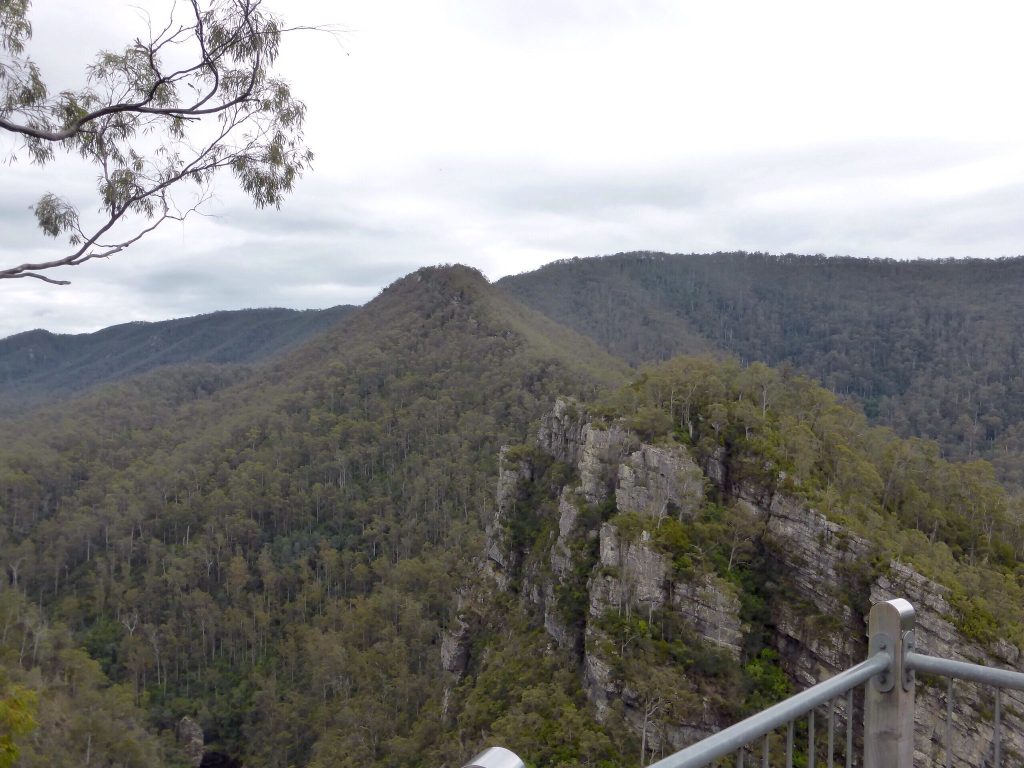
The Alum Cliffs Bushwalk is a relatively easy walk to a forest lookout located high above the Mersey River
- August 20, 2026
A half-day circuit through Tasmania"s largest dry sclerophyll forest to a swimming hole, finishing with a rocky scramble through the…
- July 28, 2026
Archers Knob is one of Tasmania's finest short walks, combining diverse landscapes with excellent wildlife viewing and unforgettable coastal scenery.
Arve Falls Walk
0.0- August 15, 2026
A short, easy walk through alpine herbfield and snow gum woodland to a pretty cascade on the Arve River —…
- July 4, 2026
Enjoy the magnificent coastal Bay of Fires walk while camping Bay of Fires Tasmania.


Leave a Reply